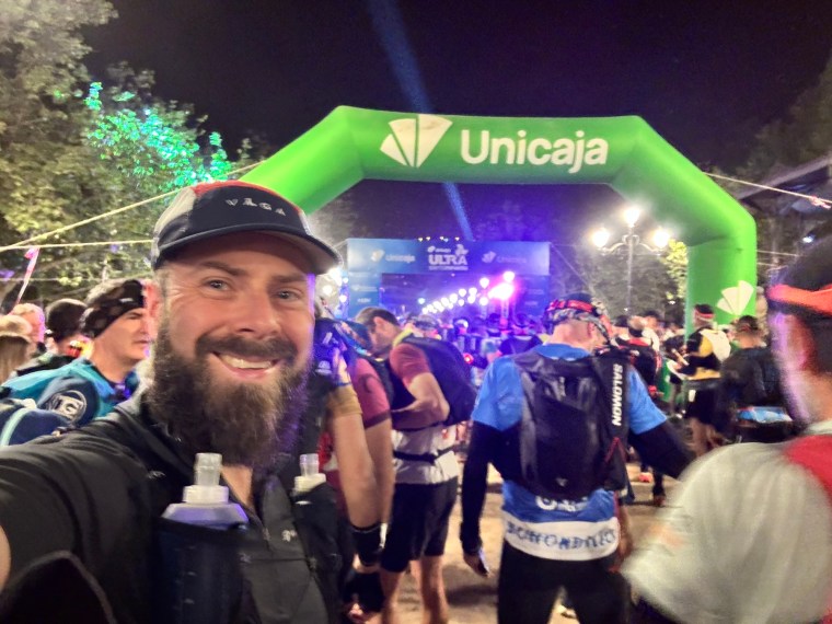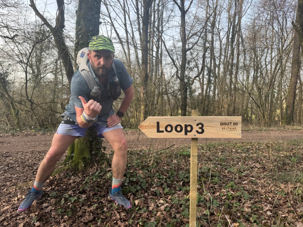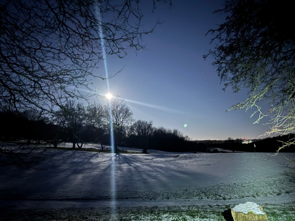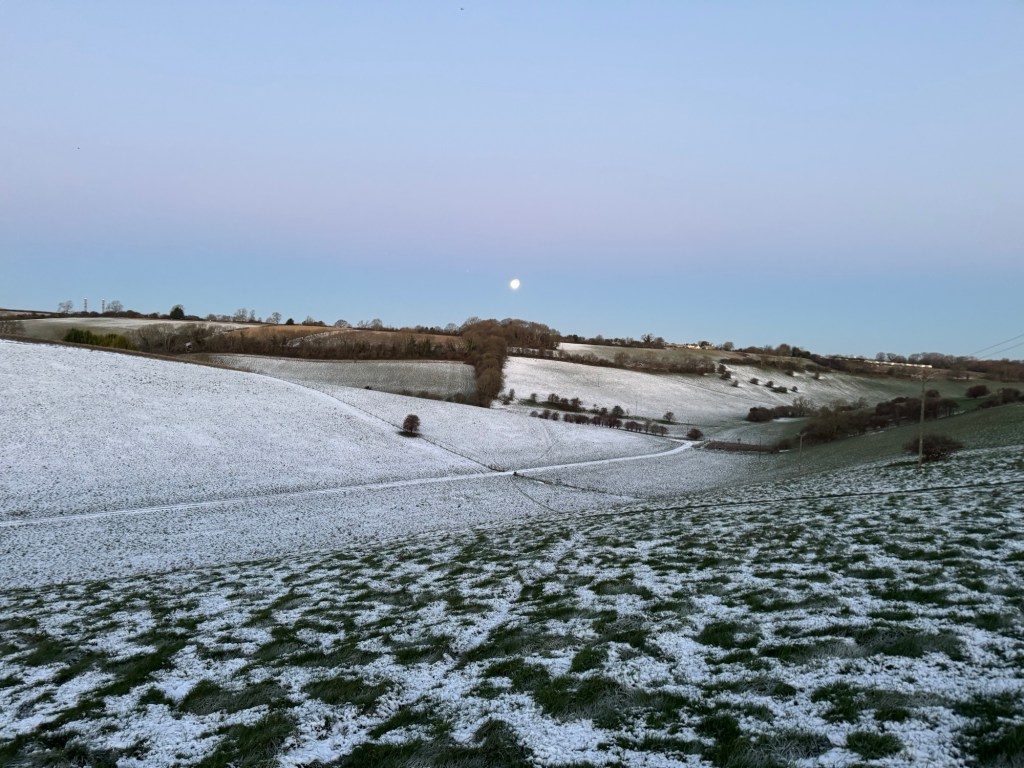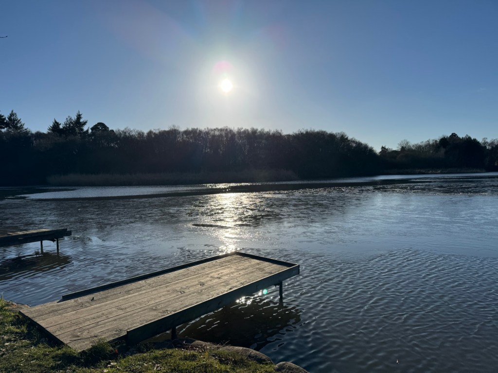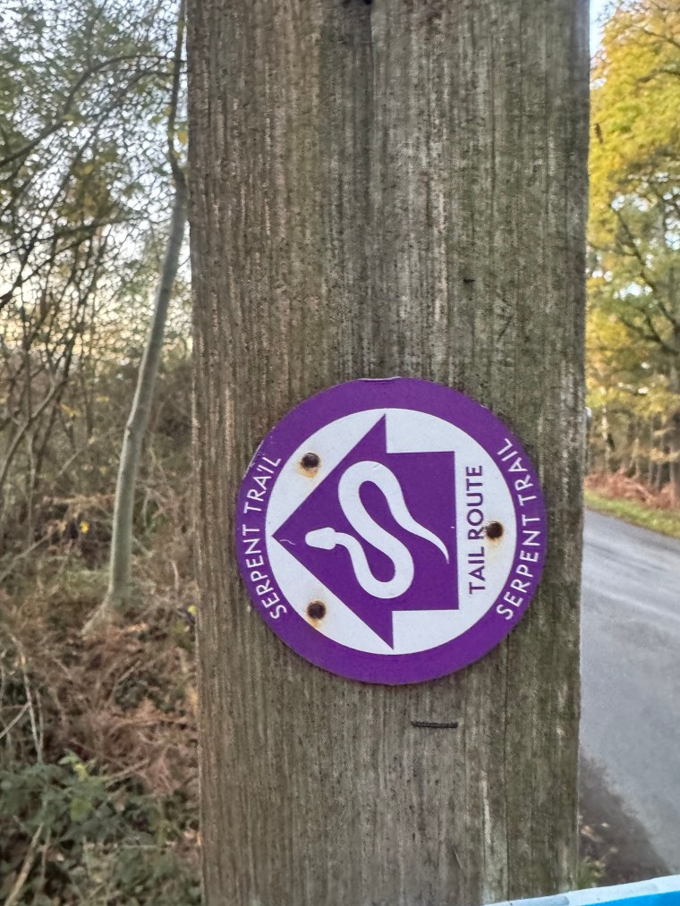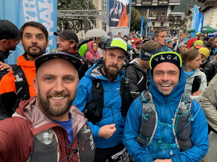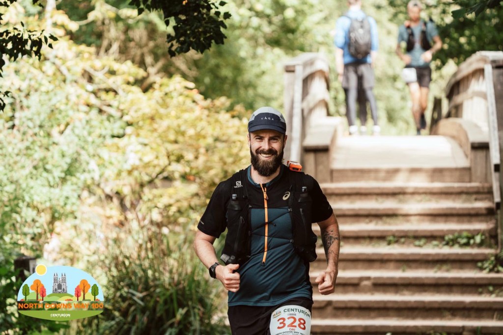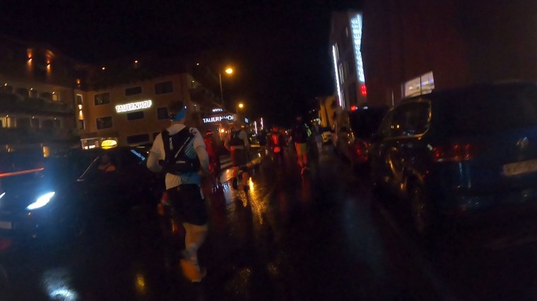
Matt found the Scenic Ultra Trail in the Ticino region of Switzerland, right on the border with Italy. It seemed like the perfect training race for TOR330, promising steep climbs and descents and difficult terrain. We signed up and later Paul also decided to join. We based ourselves in Lugano, a beautiful lakeside town and used the local buses to get to and from the race start/finish in Tesserete about 25 mins away. We registered Thursday, collecting our bib numbers and starter goodies (of which there were plenty – t-shirts, long sleeve baselayers, buffs etc.) and then on Friday evening took the bus to Tesserete for about 11pm ready to start at midnight.
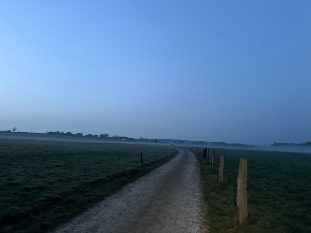
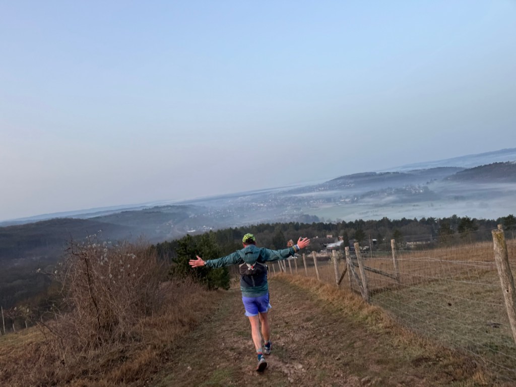
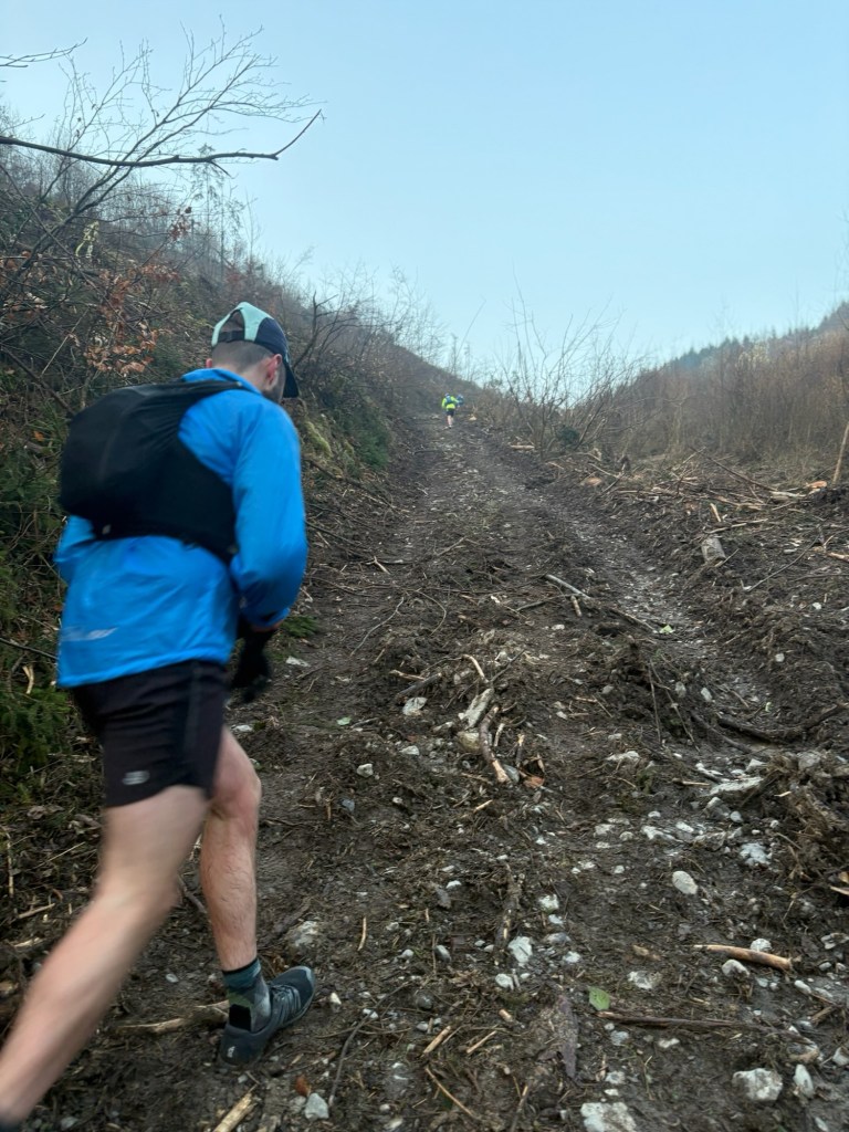
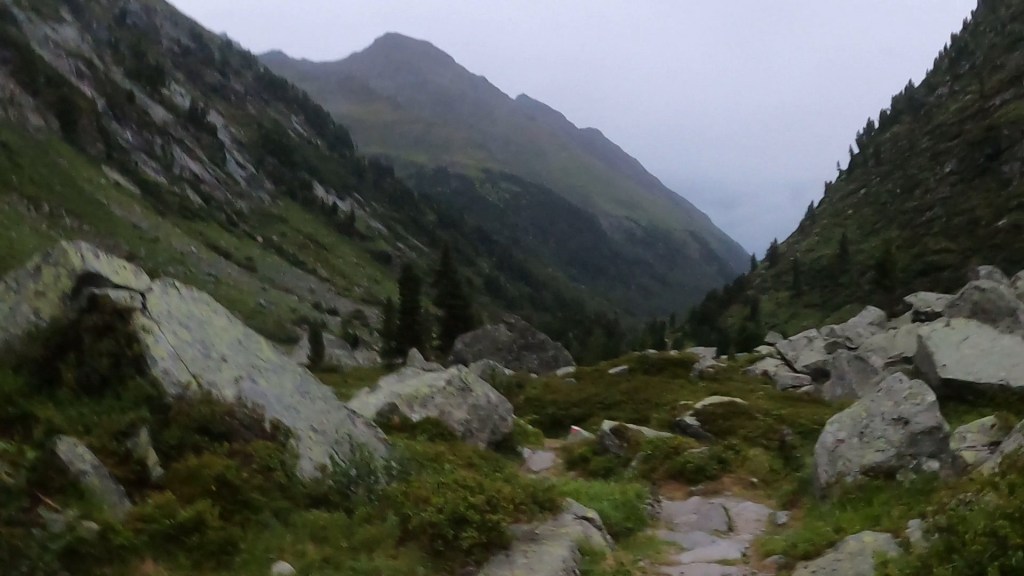
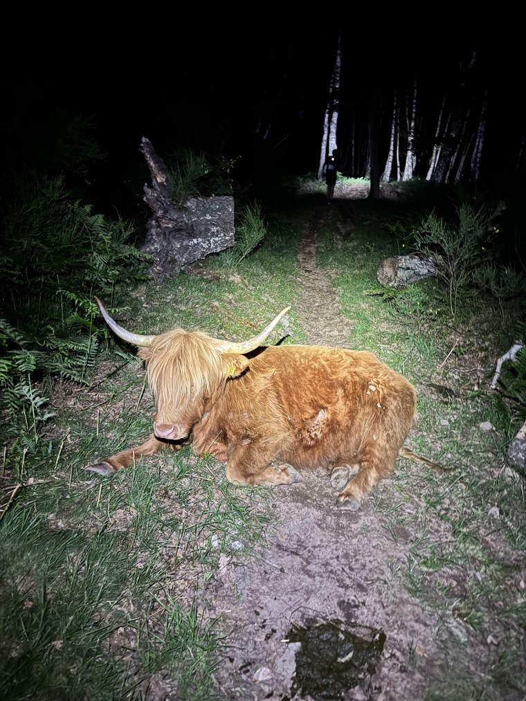
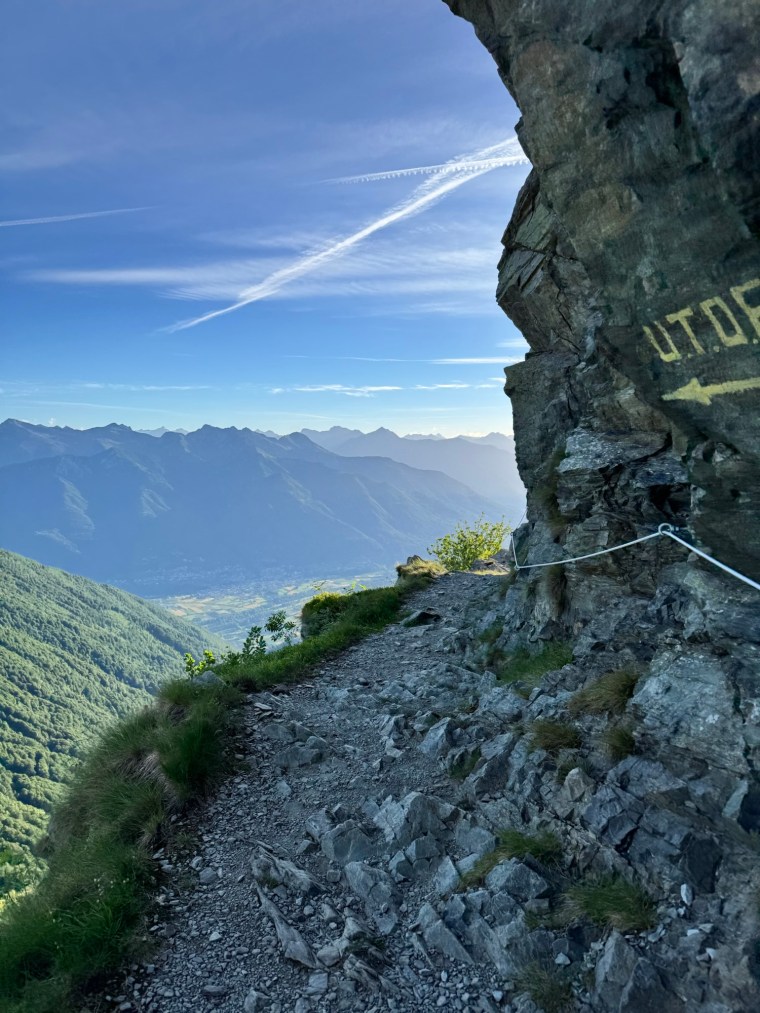
The start line was calm and warm, as the start was announced the runners ran the road through the town then narrow alleys up to the trails. The tarmac road turned to gravel paths then into cobbled tracks. Uneven as we climbed what was about 600m straight up. This first climb was long and slow. The terrain surprisingly rocky underfoot. This should have been the obvious indicator of what was ahead. There would be no princess trails to be found here. As we moved into the forest, gorgeous mountain cows were scattered all over the path, probably wondering why these humans were disturbing their sleep!
After the first summit of Moschera (1167m) we had a brief section of very steep but tarmac’d road as we descended. But soon it was rocky once more. The frantic gravity-resisting jog became a jerky-plod, bouncing from rock to rock trying to follow the ‘flattest’ line. Once at the bottom we ran through Mezzovico and then started climbing once more in the forests. It was about another 500m of climbing and then a short descent.
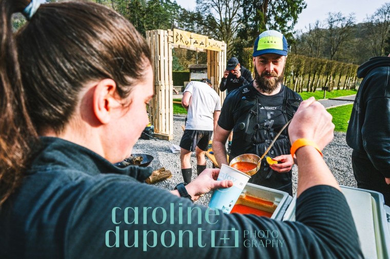
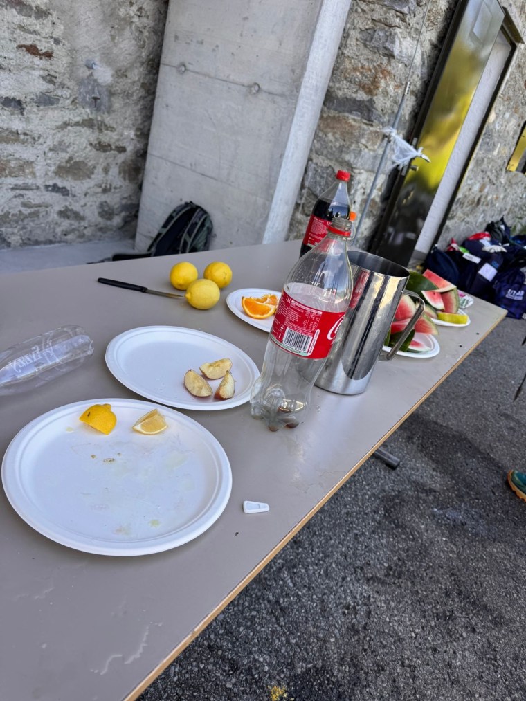
Around 22km in we arrived at the first aid station (Arosio). In the first ‘half’ of the race there were only 2 aid stations, the third would be the 55km checkpoint where we would access a drop bag and hot food. This first aid station was quite possibly the worst I’ve ever encountered. Tiny chunks of lemon were scattered on one plate. A few chunks of some form of granola/cereal bar on another. I didn’t think too much about it though as I had some of the bar and refilled my tailwind.
We now had a long (approx. 22km) section until the next aid station. This time we would climb over 1000m and descend a similar amount. The climb did have a few short breaks in it to split it up. After the initial rocky climb we were met by some volunteers on top of one of the summits. The moon was bright and way off in the distance head torches could be seen climbing again. The initial descent was off trail and we hopped and skipped down the grassy hillside desperately trying not to twist our ankles in the divots or fall.
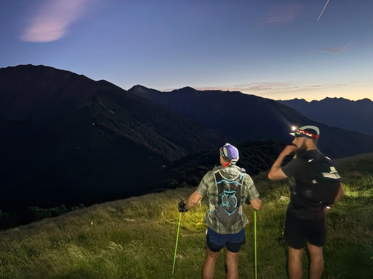
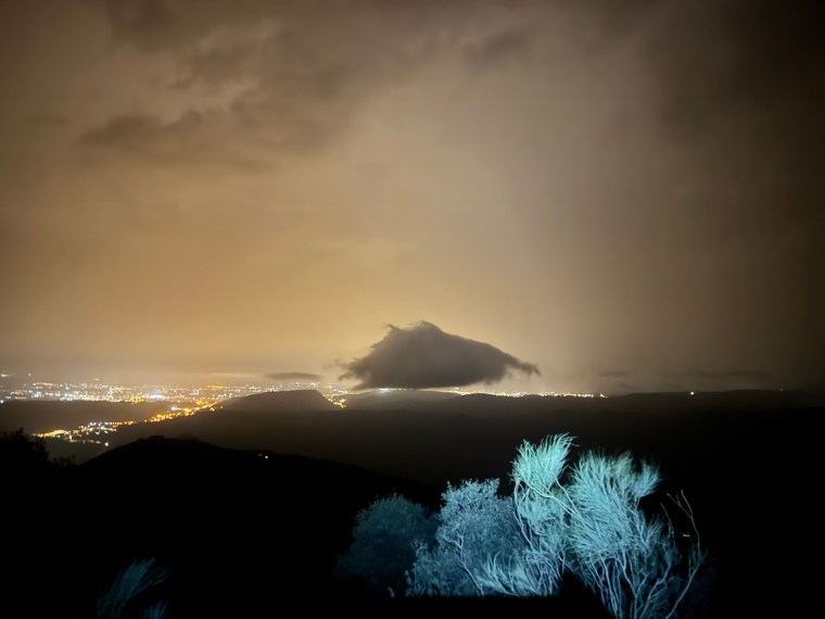
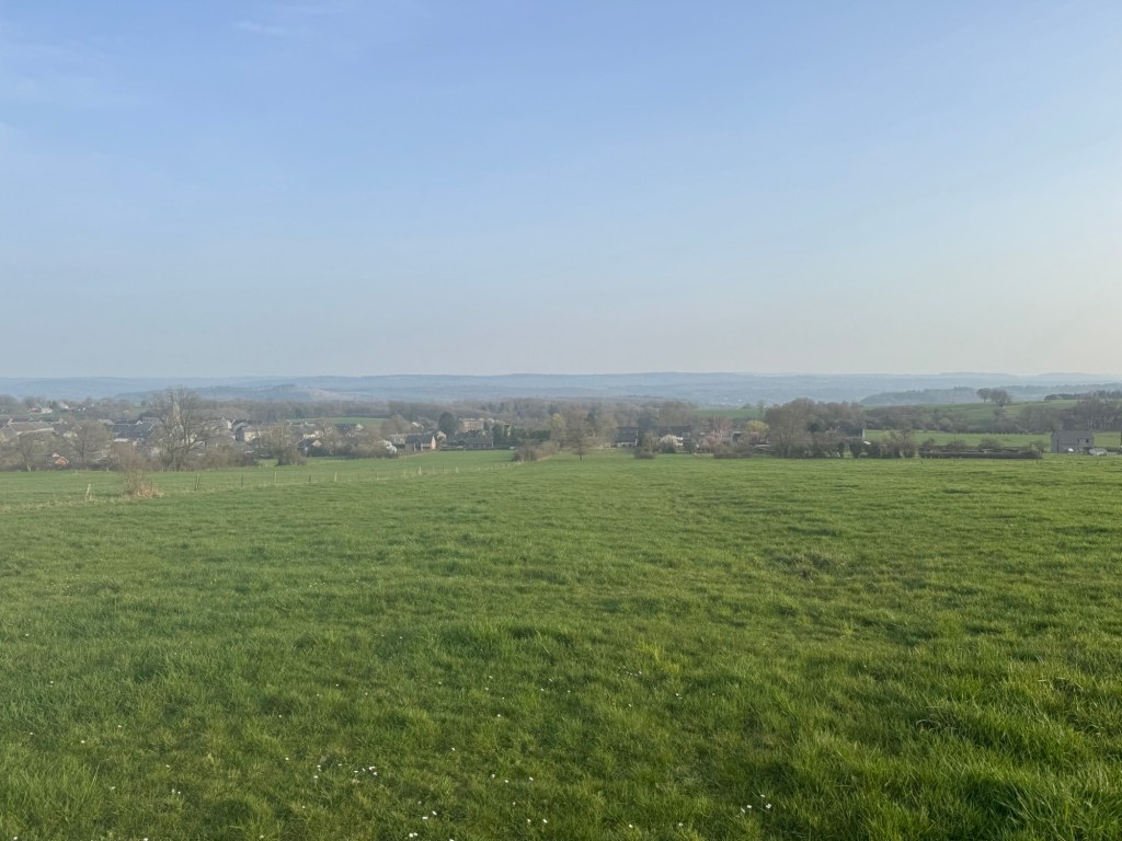
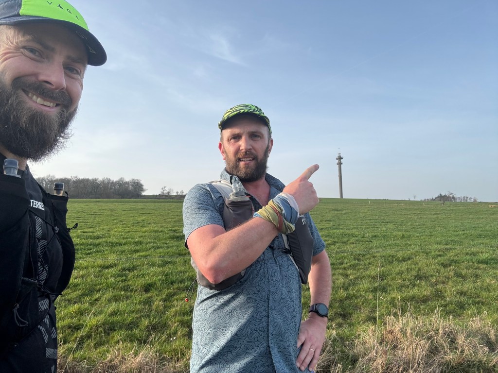
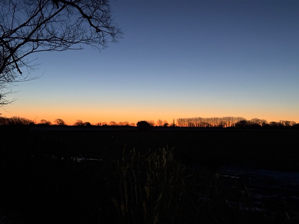
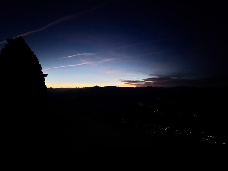
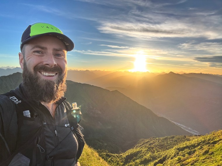
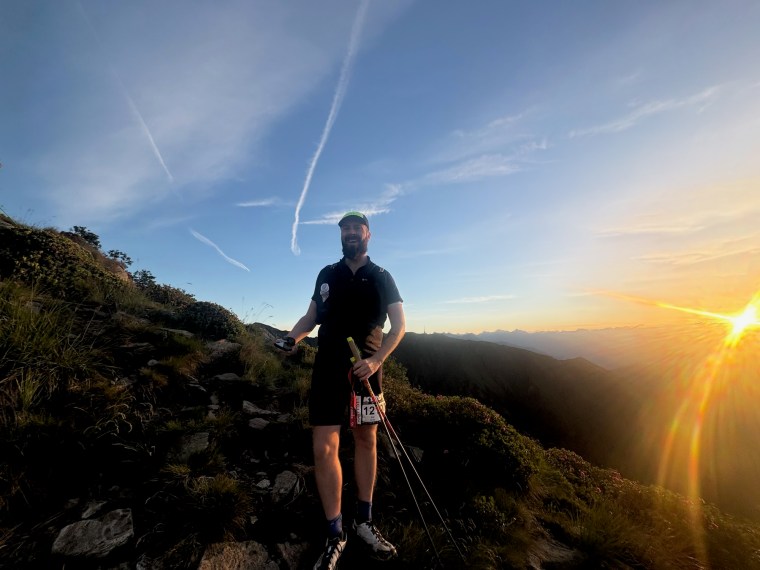
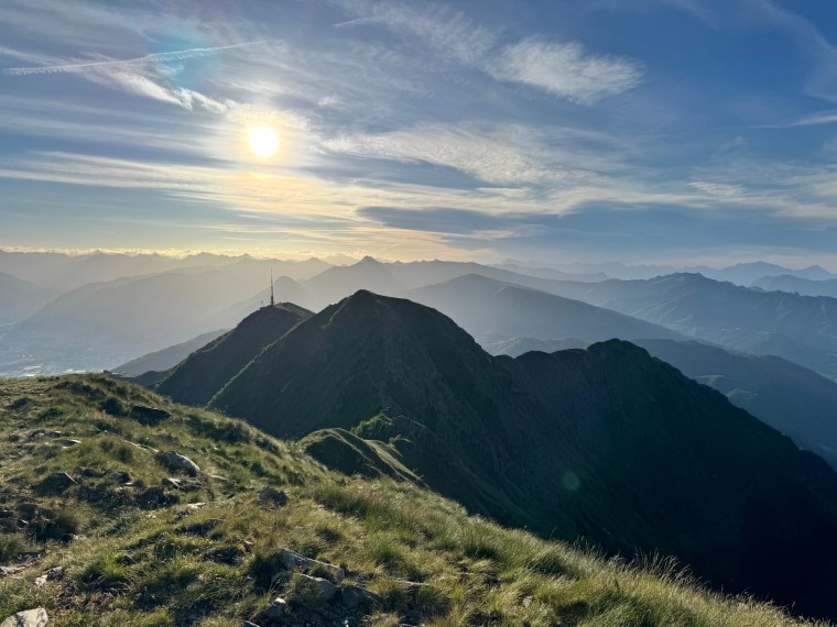
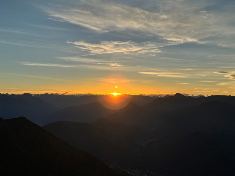
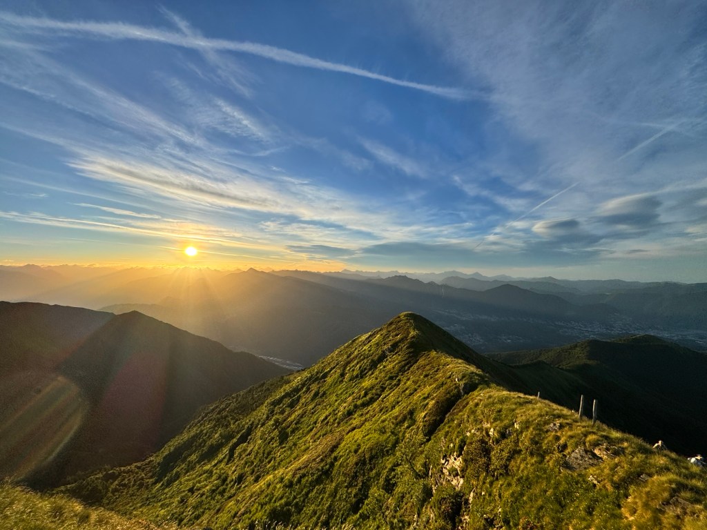
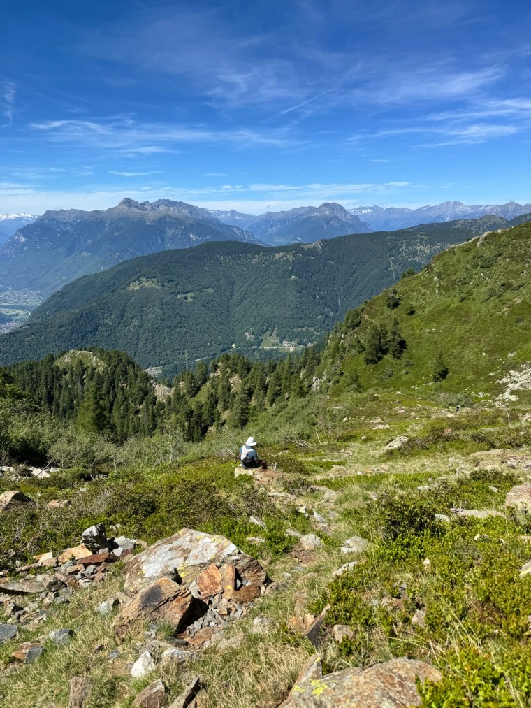
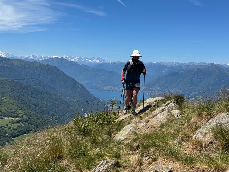
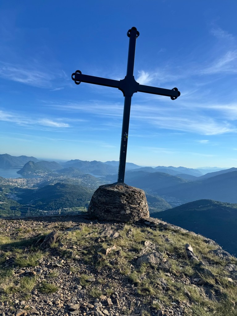
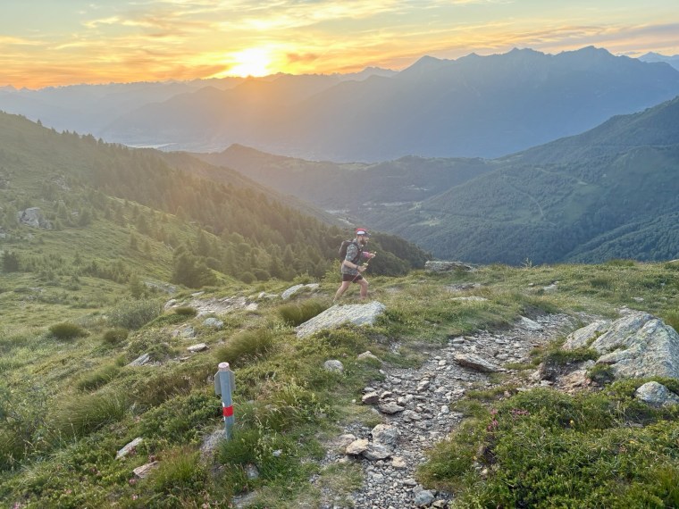
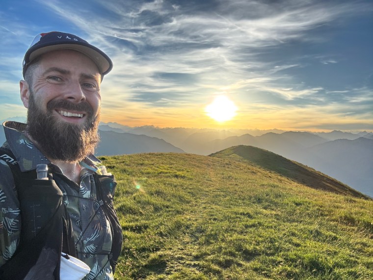
Around this time the darkness of the sky was clearing as we climbed through a technical forest. Steep and scattered with large roots and rocks all over the track. It was about 4am and shortly after the night sky started to glow red before sunrise. We then left the forest and were climbing on a rocky hillside as the sun broke over the distant mountains. Our first glimmer of the surrounding beauty. Spectacular. Up ahead runners climbed higher as far as I could see. Head down I ploughed on, waiting higher up as Paul and Matt arrived behind me. They took a moment to rest and enjoy the sunrise too. Then we carried on over the summit ahead. We were somewhere up near Monte Tamaro (1961m), I think.
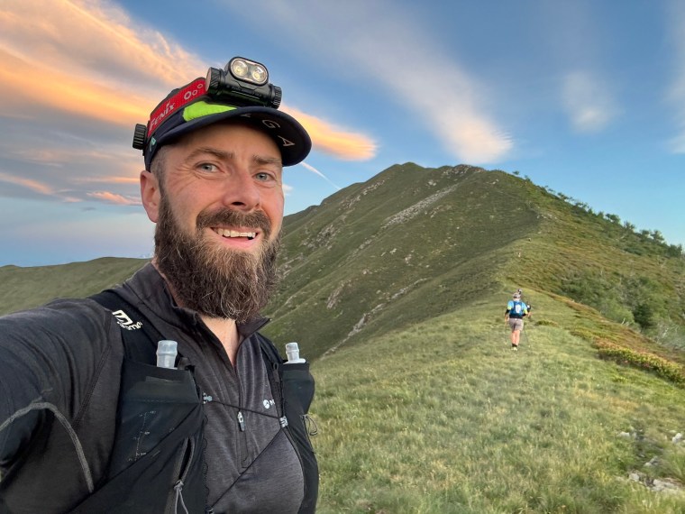
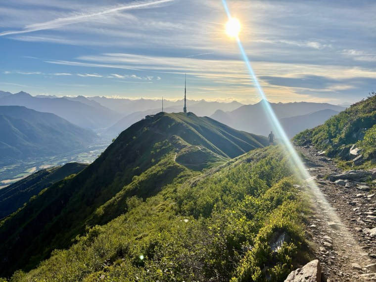
From hear undulating trails connected some peaks. The sky grew brighter and brighter and we soon reached another summit with a refuge (Possibly Capanna-Tamaro), here a lady had water and bullion on a table outside the aid station. The bullion was just what I needed. We topped up our bottles and went to leave…. but Paul sat down. He told us to go on. He’d had a very tough night and was weak with exhaustion of fighting the trails. He planned to spend a bit of time to try and recover and then see how he got on. With his instructions me and Matt left him there and began the big descent.
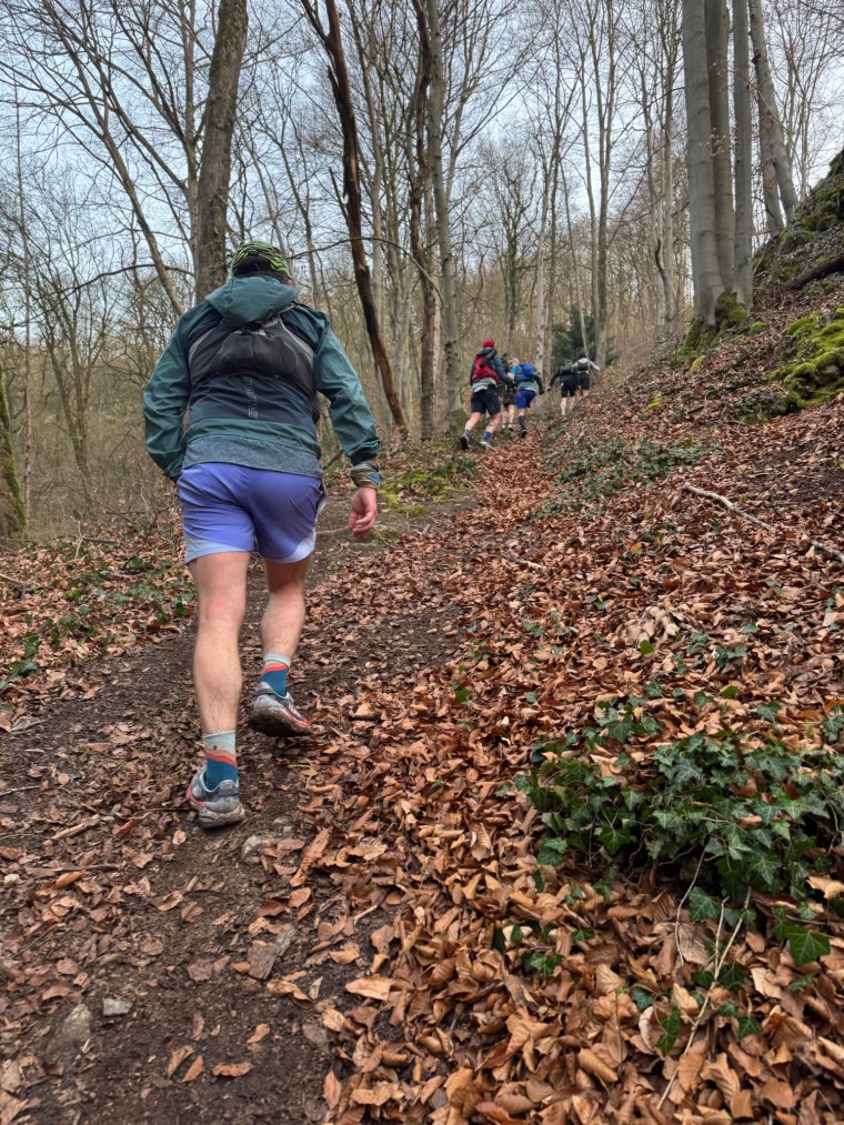
The descent was about 1200m. It was steep enough that gravity dragged us down for the most part, are legs fighting to resist. Once more the trails were technical, just covered in loose stone for the majority of the switchbacks. It was a long and painful descent and we tried to resist and save our quads as much as we could. The last few hundred meters of elevation loss however was more testing as we hit the steeper forest trails, loose and dusty with dead leaves hiding the rocky horrors beneath them.
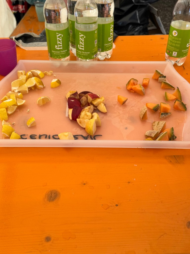
At the bottom a short road led us through a town and to a military training zone where the second aid station (Monte Ceneri) was. It wasn’t great, but was better than the first. Small chunks of apple and orange accompanied the lemon here. A small bowl of crisps and some bread-biscuity things made up the offering. I ate as much apple and orange as I could. It had been 44km without much and we had another 11k to the main aid station. We stayed inside whilst we ate to avoid the heat of the early morning. I initially thought having fewer aid stations earlier on wouldn’t be too problematic. But it was a long night and time moved slowly between them. Probably around 30km in I already felt like I’d been running for much longer than we actually had, my legs ached and my feet were sore. It was going to be a long day (and night!).
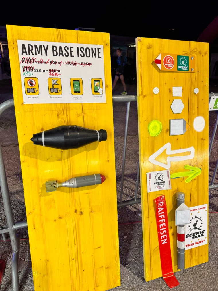
From here we climbed a steep road out of the training base to the tune of rifles being shot. Throughout the race the military provided support and medical assistance at check points along the course. They were great and actively helping and encouraging runners. Leaving the base behind we hit the steep technical trails again as we climbed about 600m. I don’t recall much here as we covered 11km, but was glad when we arrived at the next aid station (Alpe Del Tiglio) ready for a rest and a good feed. The feeling quickly evaporated though when the shambles of the aid station became apparent…
At first it was a little confusing as to where our drop bags were. There was one pile outside and another pile inside. No one instructing or helping so we had to first figure out what pile was what. We dug through the pile for ‘arriving runners’ to retrieve ours. I then went and filled my cup with Coke and asked where we could get the hot food. The volunteer told me there wasn’t any, she said this is the food and made an unapologetic gesture at the almost bare tables in front of here. Like before, chunks of watermelon, remnants of lemon, orange and apple along with a few small pieces of chocolate. I asked to clarify about the pasta advertised, she said they’d run out and that there wasn’t any left. But there were some bread rolls inside. I went back in, grabbed two of the handful of bread rolls remaining and went to break the news to Matt. He wasn’t pleased and went and gave the volunteers a piece of his mind in his strong Aussie-Dutch (polite but direct!) way. He was right. It was shocking, there were still over three hours until the cut-off here and loads of runners from both our 120k race and the 83k race behind us. Appalling organisation and the volunteers seemed either afraid or unwilling to do anything to rectify it – whilst they couldn’t fix the situation for us, they could for the runners hours behind us or indeed for aid stations further on.
As I ate the dry, stale from being out in the sun, bread, another frustrated runner very kindly gave us some of his salami as he was leaving and had enough. In a mood we got changed and left, wondering what Paul would think when he arrived.
From the aid station we started the second of three consecutive big climbs. It was hot. We were hungry and the mood had changed. As we slowly climbed about 700m on the ever present rocky trails, our relaxed jovial behaviour became darker and our frustration with the food situation led us to being more direct with one another. Matt was right though, we needed to find a way to overcome the food issue and have a strategy for dealing with it later on. However there wasn’t much we could do – we had our own supplies (enough planned for dealing with sections between aid stations) and just had to hope that the rest of the aid stations weren’t as ransacked as those we’d already visited. The good thing though was that they would be more frequent now.
After a very slow and humid climb we could see the next intermediate water stop up ahead. We agreed we’d get through the next climb, the biggest ahead of us, and take if from there. As we arrived at the water stop (Alpe Caneggio) we were pleasantly surprised to see they also had some food, including some packets of soups. We shared one, had some crisps and also a few sweets that were left. There wasn’t much, and it certainly wouldn’t serve all of those runners behind us, but we prioritised ourselves and ate what we could. With fresh, cold water in our flasks we said our thanks and went to tackle the next climb.
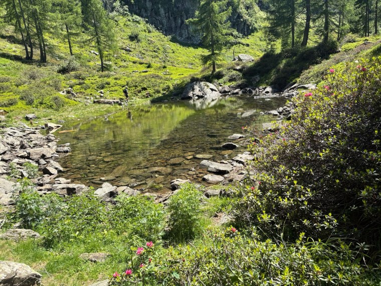
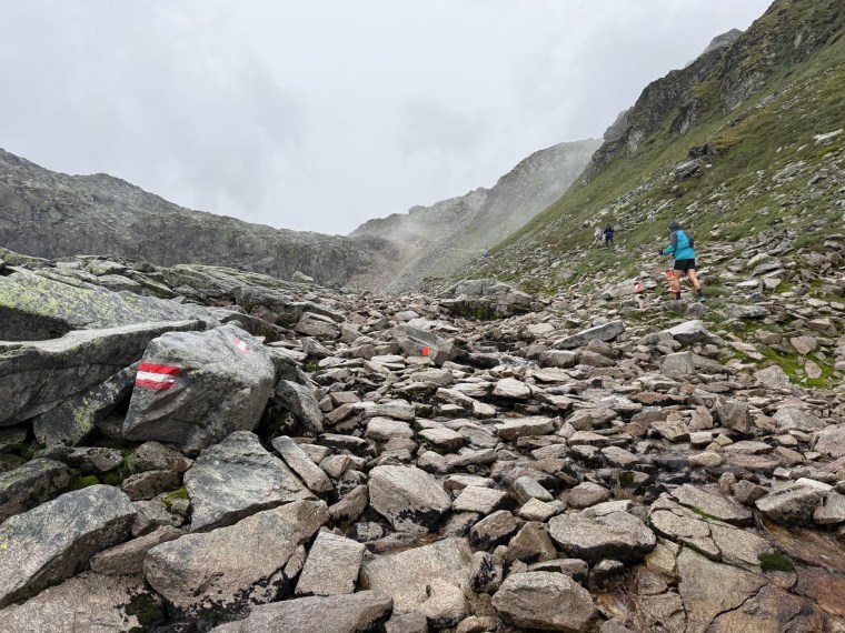
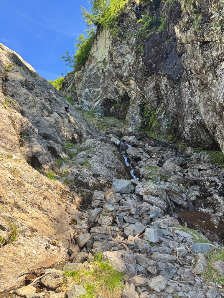
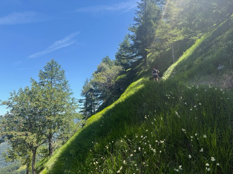
This one hurt. I reluctantly accepted by now that the whole route would be technical. There wouldn’t be any trails that could encourage any sustainable running from us. It was no different here. Hot humid forests, lumpy roots, sharp rocks, off track trails. We climbed them all. The higher we went, the steeper it became. At one point we broke out onto a small plateau with a lake, but then we climbed again, up through gullies, navigated using chains along edge drops. It was tough. It was difficult to see where we would go to summit and leave this place behind. After an eternity we did summit and were rewarded with a spectacular viewpoint. It was very windy but beautifully cooling in the late afternoon heat. We chatted to the volunteers checking on runners and one man encouraged us on, saying he’ll see us at an aid station later. We thanked him and made our way down.
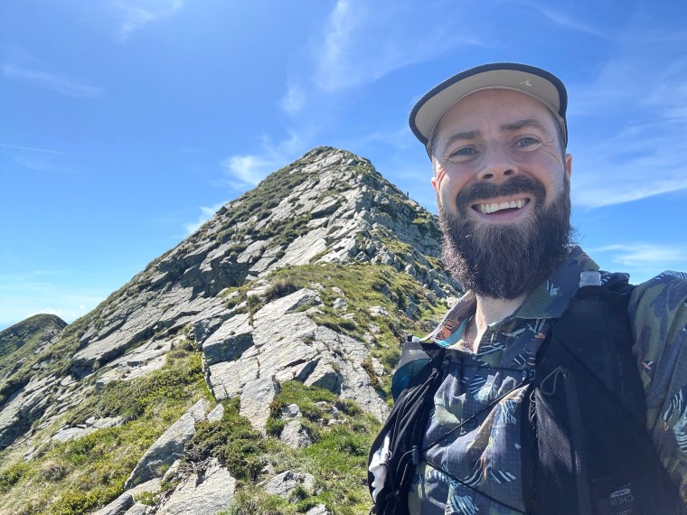
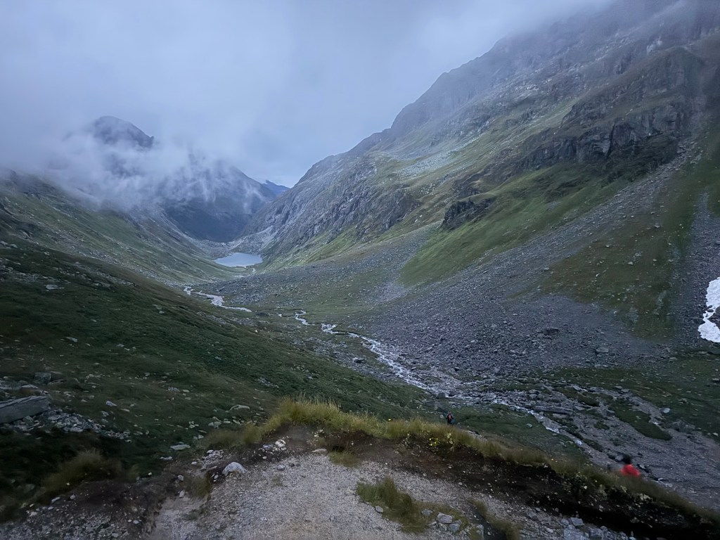
From the summit of Camoghe (2228m), after enjoying the spectacular views we had to descend. It wasn’t any easier. Another 700m down. It was steep and painful. Again it felt like an eternity. From the top we could see the trails way off in the distance below us, winding through the valley to what looked like a car park and hopefully the next aid station. At first the loose scree switchbacks took us down quickly. Then the paths continued to twist and turn with huge rocks before becoming less steep, but narrower and overgrown. It was difficult to run as we placed our feet one in front of the other on the narrow track whilst trying to salmon passed the overgrown foliage. It was hot and a very sweaty descent.
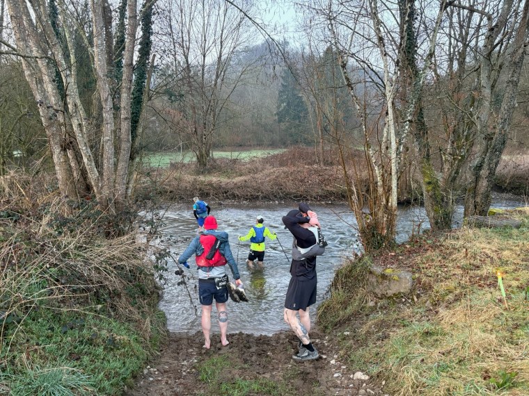
At the aid station (Alpe Serdena) we had a brief rest. Nothing new to excite us on the food front and then carried on. An initial access road for cars then led us back to the trail. We then skirted the mountains towards the next aid station, Alpe Darosio. by now my recollection of this section is so vague. I do recall thought that it was more grassy with less trails and when there were trails they were also much wetter than any we’d experienced before, despite the perfect whether there were some surprisingly muddy sections to cross as we descended about 400m. Like all the previous aid stations, Alpe Darosio was an aid station of little sustenance. We took the opportunity to get out of the heat and take shelter in the marquee though before we continued up. We also prepared for the night, readying our head torches as the sun would set before we next stopped.
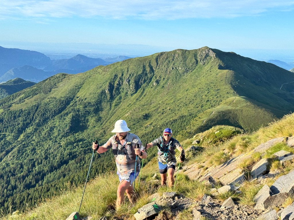
Leaving Alpe Darosio we climbed, gradually at first, but it didn’t make it any easier. Then rocky trails persisted and we hobbled upwards. Our feet on fire. We were about 75km in, a little over halfway, and I’d felt this way since about 30k in. On the slow hike we realised how we hadn’t seen a single hiker/tourist on this run. On this adventure it was just the participants from the race who were on the mountain. Whilst these were marked trails, they clearly aren’t the sort frequented often. I can see why.
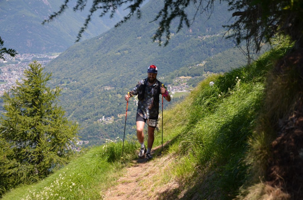
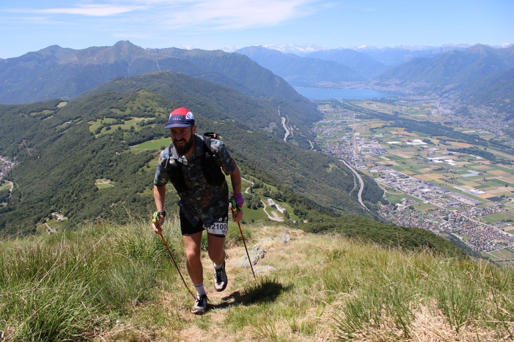
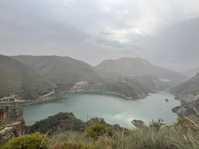
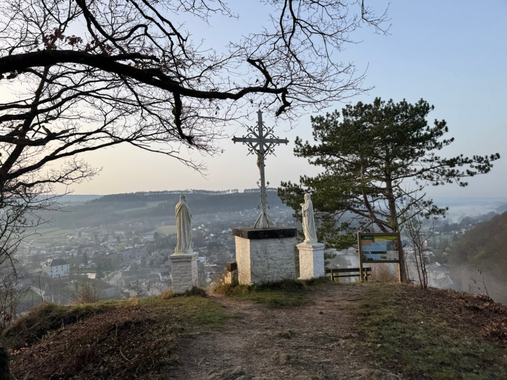
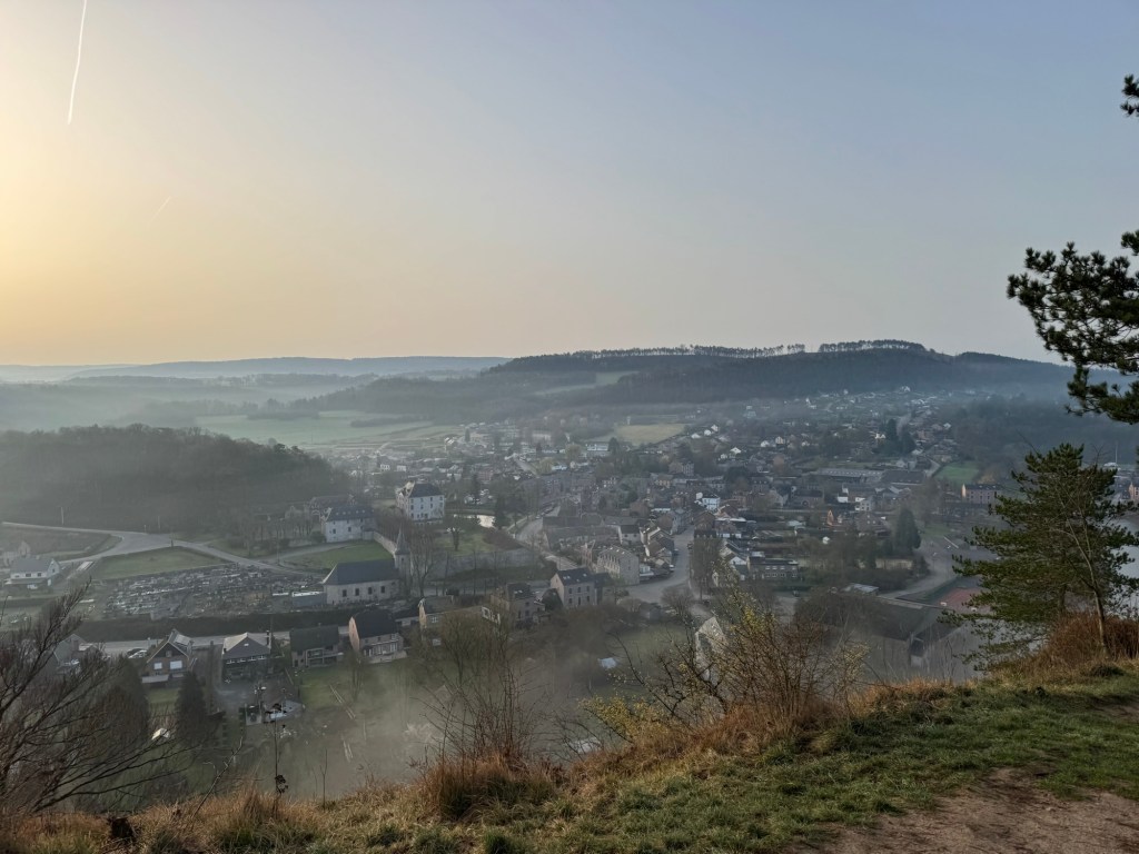
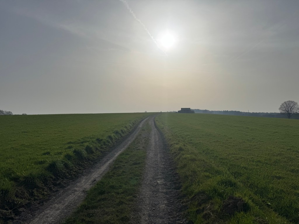
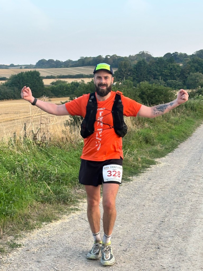
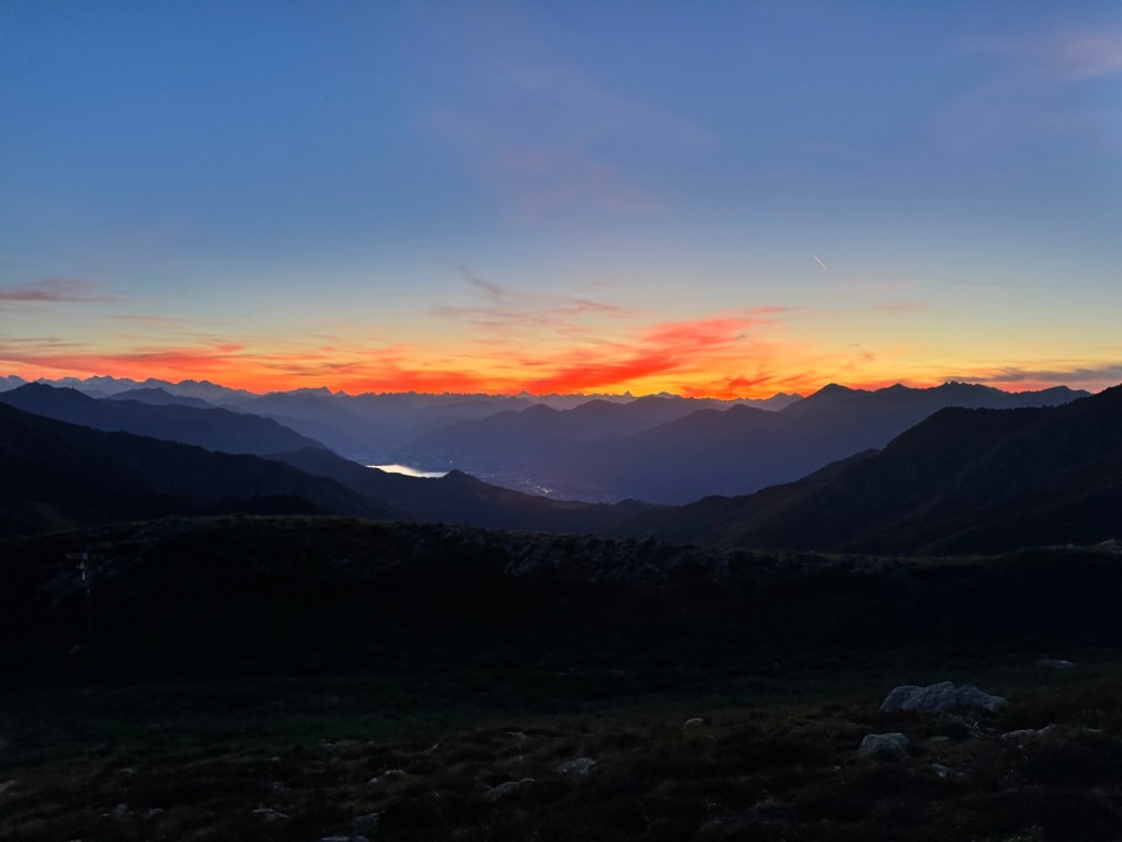
A few km later the climb rounded the edge of the mountain. A spectacular view over Lugano was presented to us. Every view on this course was spectacular. Here the 83km route separated and they headed back to the finish line at Tesserete. we however had to run “everything you can see” as another runner put it. He wasn’t wrong. From here we’d climb all the way to the top of a mountain range. Then stay on the ridge as we did a horseshoe around to the other side. Then trace the mountain along the Swiss/Italian border before looping back. We climbed on the exposed mountain side for about 500m along lumpy grass land. The Sun started to set and we had a gentle but rocky decline to the aid station Piandanazzo. A hut/restaurant of some sort nestled in a dip of the valley. Out of it, backed the trail which looped up into the darkness of the sky.
We ploughed on in disbelief at the slow passage of time. Ultra-relativity well and truely dominating my sense of logic. The climb was slow. Lumpy hillside with little track and then the familiar steep rocky switchbacks. Up we went. Stopping frequently to rest as the sunset on a tortuous day. We climbed another 500m on the exposed mountain, this time steeper than the last. The heat of the day gave way to a howling wind. It was strong, but so welcomed. We refrained from putting layers on. We took the risk that we’d skirt the ridge in the other side and have a little less wind. In the night what we thought were head torches ahead of us were just incredibly powerful reflectors. It made navigation easy but tested my understanding of how they worked.
We’d not seen another runner for over an hour since we started the climb. The last runner ahead of us now invisible (the glow from his head torch) to us as he was now so far over the mountain and somewhere beyond. We thought we might be the last runners and occasionally looked back to see nothing but but darkness. As we came close to summitting, way off in the distance below us we could see a feint head torch. We guessed it would be a Germany lady we’d seen occasionally come into aid stations after us. She must have been about an hour behind us. We wondered if she would meet the next cut off as we too were feeling the pressure a little bit.
Since the last cut off at Piandanazzo, we had 5 hours plus the hour we had ‘in the bank’. So six hours to cover 16km (with 1300m climb and 1000m descent) but with this big climb (about 500m) and the technical terrain made it challenging. We wanted to remain an hour ahead of the cut off to keep us fighting and with time to break and rest at each aid station. So she would be tight on time if this was our situation!
As we finally reached the top, the summit of Monte Gazzirola (about 2116m) there were three volunteers braving the wind to check on us. They asked if we were the last runners, we told them we could see one head torch and think that was it. They had no idea. This was a constant theme at the race too. There were supposed to be trackers for each runner. But at the race briefing (which was terrible – short, quiet, uninformative!) they said the trackers hadn’t arrived. Whilst at aid stations they seemed to be recording manually each runner’s number, they didn’t seem to relay this onwards to other volunteers or aid stations. Anyway, that’s not our battle. We thanked the volunteers and began the descent. It wasn’t as steep as some of those before, and arguably not as rocky or technical either, but in the dark it was very had to navigate with any momentum and we had to descend about 600m.
There wasn’t any defined trail as such. Just lots of very narrow tracks where water has eroded the mountain overtime. It was very lumpy and we’d try to bounce between the tracks. For the most part this was manageable. But the trail was also littered with old pieces of rusty barbwire from an old border marker. So we had to concentrate fully as we navigated down in the dark. Way off we could see what appeared to be the glow of a building, hoping it was the aid station of San Lucio. But it didn’t get any closer. Eventually we reached it, exhausted. We had increased our banked time slightly and now had 1 hour 20 to the cut off here. So we allowed ourselves 20 mins rest and set a timer to have a ten minute nap, head down on a table. I was drifting but didn’t quite sleep. We were slightly disturbed before the end of the ten minutes when a volunteer came to ask us what time we reached the previous aid station. Matt was a bit groggy from the sleep and I couldn’t focus to remember and answer exactly. But I could determine what he actually wanted to know was if we were the last runners (this is what I meant about the lack of onward info!). I told him we saw a head torch behind us. A lovely lady then gave us some bullion and coffee. It was bitter but strong. We needed it. We’d been running 24 hours and had up to 10 more still to go. Bang on midnight we left, into the darkness once more. Just me and Matt with our fatigue and exhaustion firmly strapped on our backs. Stubbornness and relentless determination the fuel that would see us to the finish.
There was a 7km section where we climbed and descended, this though I hardly recall and another aid station (Capanna Pairolo) which I’ve completely forgotten, but after this we were continuing on the open mountains and headed up in what felt like was a straight line. Up up up we went. Rolling hills backed with silhouettes of mountains. In almost every direction it felt like we could see head torches or reflectors. We spent the time second guessing where we were heading, debating if we were climbing the silhouetted mountain or not. It felt too far, but as the distance ticked by we sure were heading up. A cluster of reflectors and a few volunteers sheltering in a tent confirmed for sure. It was steep. Very steep. It felt like an eternity was spent climbing. But we also knew this was the bigger of the climbs that lay ahead. Get over this and we’d be on our way to the aid station with the final cut-off of 30 hours (Bre Paese). We had about 6 hours from San Lucio to make it.
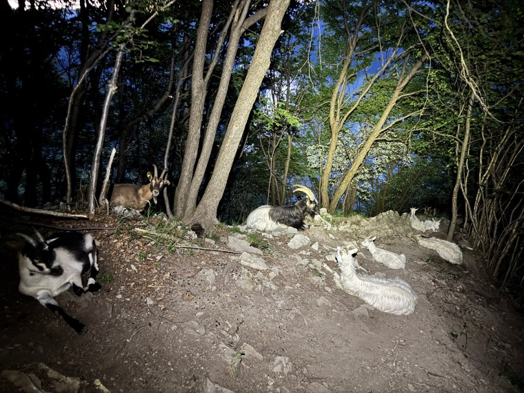
This section was tougher than we’d like. After a few hundred meters of descending we started to climb once more in a forest with lights way up high above us. It was dry and humid. We kept climbing on switch backs and had to lunge up deep steps. We never caught the lights, whether I hallucinated them, they were head torches of runners moving in front of us, or it was just the reflectors we navigated past, I do not know. As we thought we reached the top, we left the switch back behind but the trail continued up and over a hill at the summit of Monte Boglia. It was very windy here and now after the relentless climb we had a big descent to conquer. It was about 700m and steep. We weren’t really running. We hadn’t for many, many hours. Merely stumbling forward at pace. It was no different here as we made our way down. Despite the gravity assist we were moving slowly. From the rocky mountain into the dense technical forest we went. The trails became loose and covered in leaves. It confused me how so much dead leaves still covered the ground in summer. It made the trail slippery and difficult to feel the rocks that lay beneath. Then we could see a light ahead, below us. Another runner who seemed to be struggling on the ground descending. As we got closer it made sense. He wasn’t struggling as such, the trails were just very technical. After a very rocky section the trails then just became loose and gnarly. There was a herd of goats just chilling on the path. Not a care in the world and not bothered by us runners. They did look on in amusement though, first as Matt fell, then as I followed. Matt went sliding down the steep descent on his arse. I tried not to copy his uncontrolled descent and instead tried slaloming between trees, arms outstretched holding on between them. Then my feet went from under me. I was sliding. My grip tightened around the nearest tree. It snapped under my weight and came with me. Somehow I didn’t quite go arse over tit, but I did come bumbling down with the tree branch waving above my head, knocking my hat and head torch off as I stopped just before crashing over the next path and carrying on down. Phew.
We composed ourselves and carried on, confident we were now the last runners, though we could see a few head torches in front of us. The trails continued leading us down through the forests before eventually we reached the town of Bre-Aldesago and, after what felt like ages running around the town, we came across the final aid station the last aid station of Bre Paese along with 4 other runners. We had 30 mins to spare before the cut off. That section took way longer than we expected. We sat and ate along with the other runners. There were a few chunks of boiled egg here, so I ate them, enjoying the taste of something other than apple and orange! As we rested we were relieved and content that we made the cut off and also knowing for certain now that we would make the finish, even if we did have 4.5 hours to cover 13km. It sounds a lot but we weren’t moving fast, we had another 700m of climb (500m in one go) and a whopping 940m descent (with about 700m of it in one go) to go and, if I haven’t mentioned it, the terrain sucked big time.
We started the climb and soon had to stop. It was long and whilst the sun was now rising, it was still dark in the forest. Sleep was affecting me and I was starting to hallucinate, pointing out things to Matt that just didn’t exist. I was walking far from straight so stopped for one of Matt’s 2 minute power snoozes. It doesn’t really work for me but I think it did help a little. That and occasionally ‘running’ which Matt pushed me to do, kind of kept me awake. As we climbed higher and the day broke, I managed to fight off the tiredness a little better. The uphill and 5km we covered in the forests went on and on. Then we arrived at a water stop, the final stop. I’d been drinking so much these passed 30 hours so I made sure to take more here. I’m glad I did. The trail continued and we started descending along a typical forest trail you might find in the alps, only covered in loose stone and rock. The ultra shuffle continued.
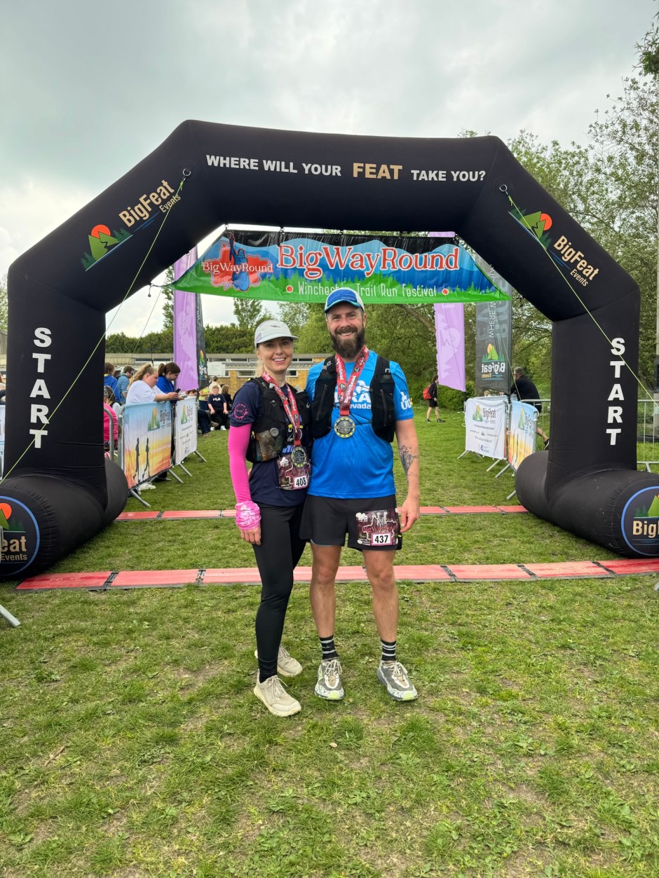
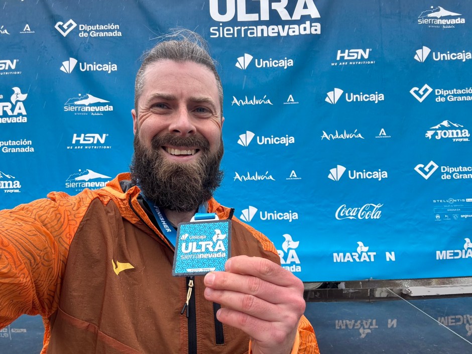
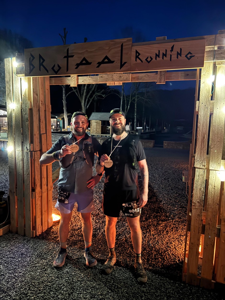
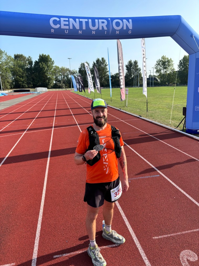
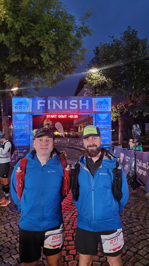
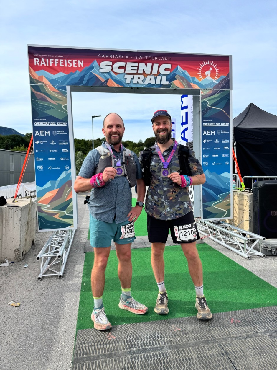
Some time later we left the forest into a town/village. We hadn’t really paid attention before hand to the route so hoped it was Tesserete. It wasn’t. I know now it was Villa Luganese. We weren’t anywhere near the finish. For ages we just made our way from village to village, passing through Villa Luganiese, Sonvico and Lugaggia). Plenty of road and paths between them. Then a descent to a river and a big sweaty climb back out before Luggagia. Eventually we made it to Tesserete and seemed to spend ages navigating around the sports centre to get to the finish line. I was completely disoriented. It was 9am as we arrived. The race MC welcomed us and asked us questions as we crossed the line to receive our medals. I don’t know what was being said other than telling him I just want to go to bed.

Shortly after we had some much needed pasta (finally!), Paul arrived and we went and got a bus back to Lugano. Tired and exhausted but extremely proud of our perseverance to get through a very tough event. Stubbornness and relentless determination.
The day after the race the organisers emailed participants acknowledging the issue with food and taking responsibility for the mistake. Not ideal that it happened. But an acknowledgement and gesture I appreciated.