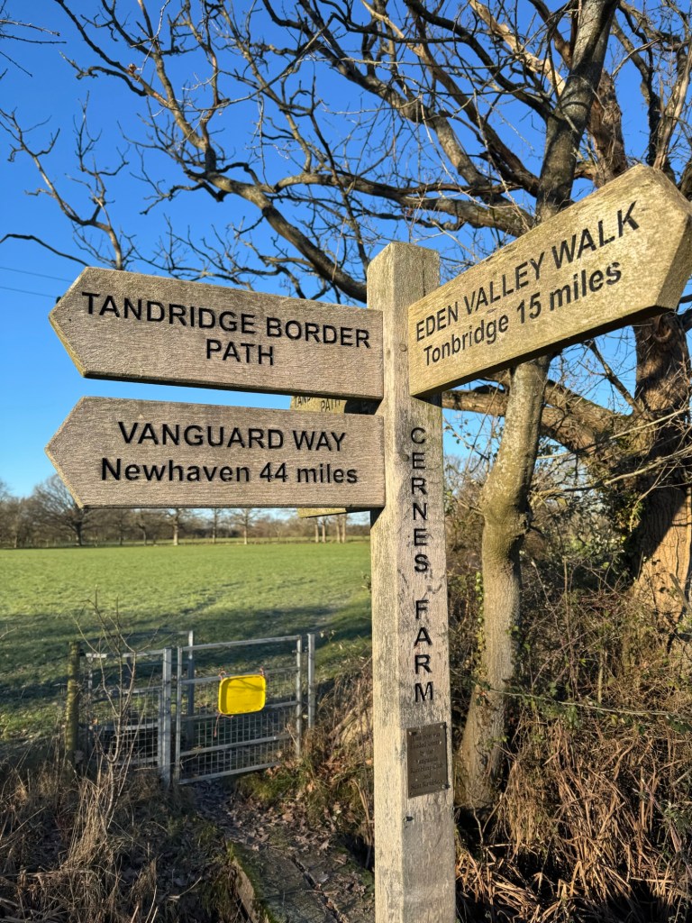
Moving to Caterham a year ago, I came across the Tandridge border Path signs on many of my runs. I came up with the plan to run the loop in one go. Originally, I was planning on doing it in the summer, but life got in the way. So, one year to the day I moved I set off to run the border path…
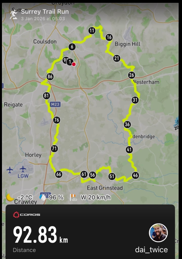
I added a few km to the route so that I could start and finish at home. With this in mind I choose the edge of Coulsdon as my starting point for the loop and then to run it in the clockwise direction (there is no official start or end or intended direction to the loop). This seemed to be the closest and most direct place for me to join the path from home. Having plotted the route and the extra to join it, I was off on a 93km adventure.
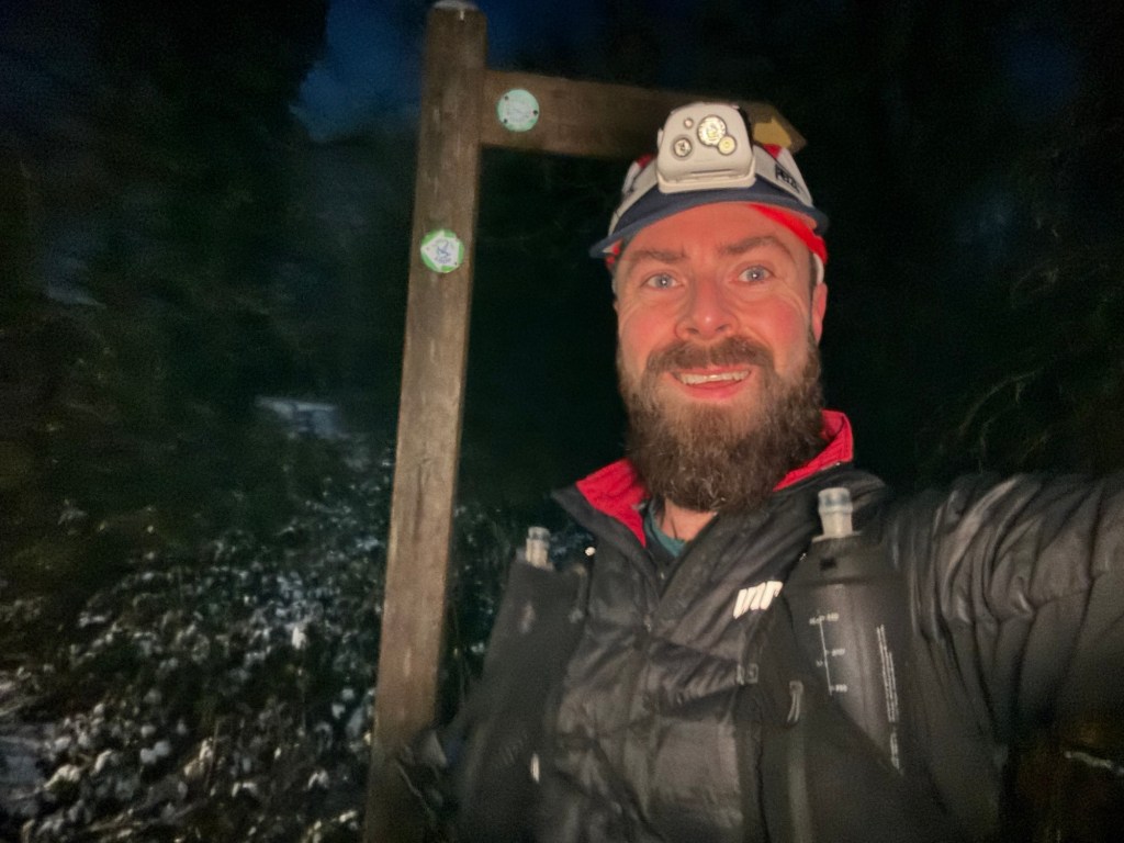
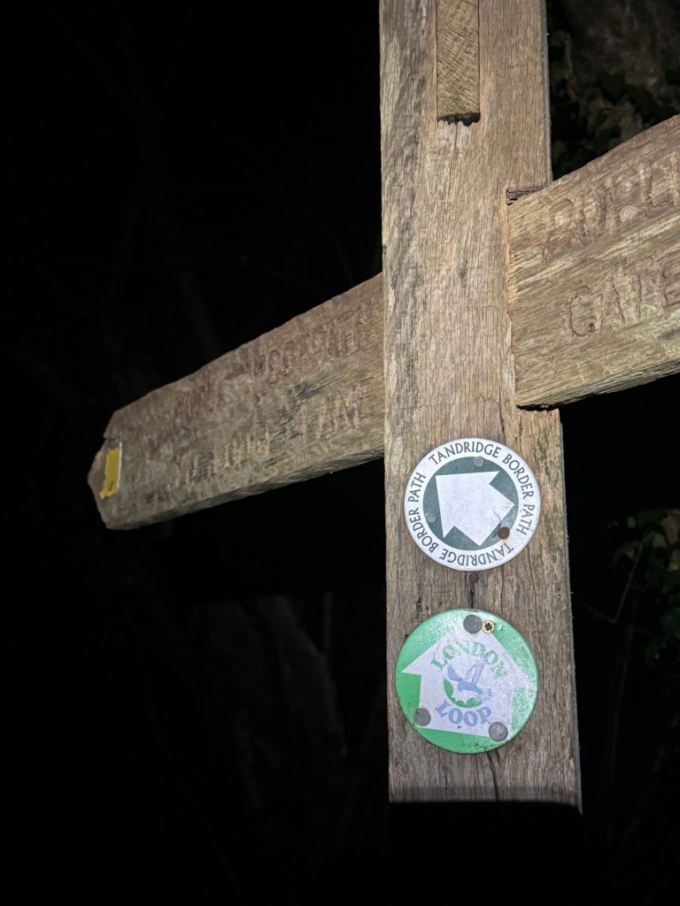
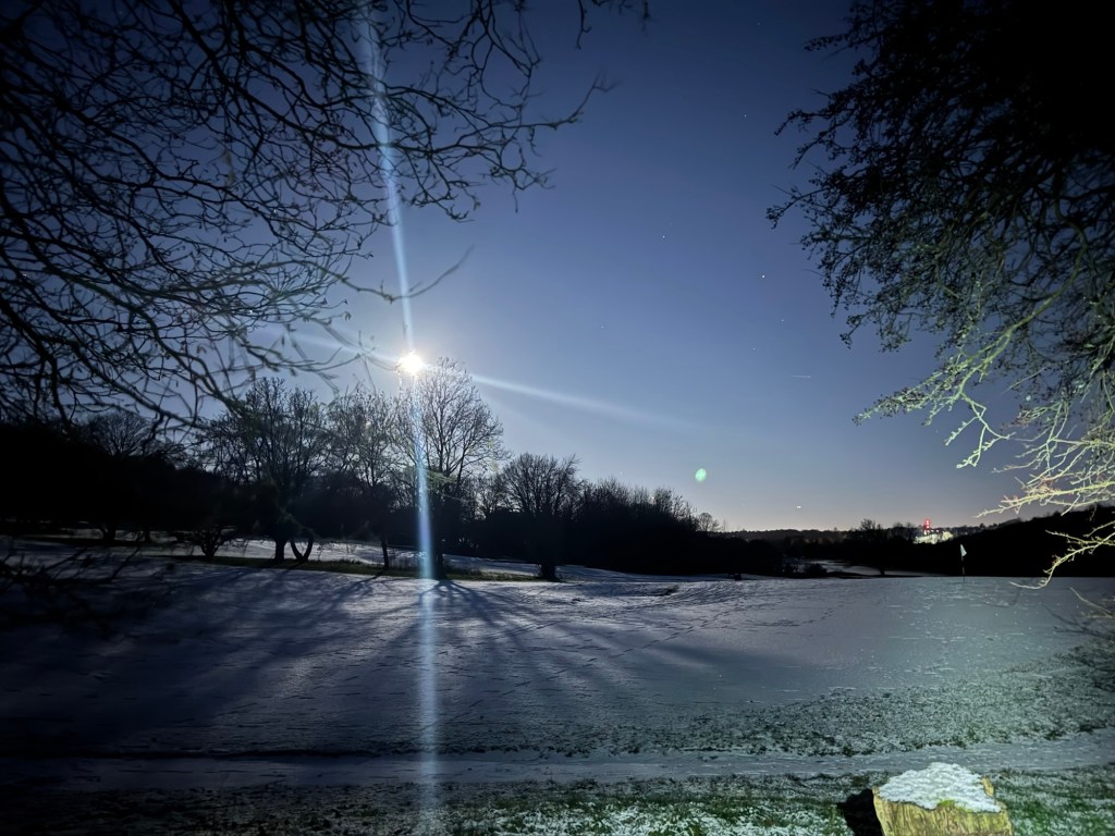
I set off in the darkness of the first Saturday of 2026 at around 05:00 and reached the first signs for the Border path in Coulsdon Common just before it loops around Kenley airfield. It was approximately 05:30 now as I started navigating the path from Rydon lane, initially on a section of the London loop. The roads to get here were covered in ice and I proceeded slowly with caution not to slip.
Immediately I took a wrong turn and hopped over a gate into a field where I was confronted with a large black animal charging at me. In my sleepy state I didn’t see it until the last minute. Thankfully it was an excited horse. I think it wanted help escaping. Shortly after I realised my mistake and I back tracked over the fence and onto the correct path.
Mentally I’d broken the route into roughly 20km sections. I hoped to get to Tatsfield and the near the North Downs way for day break. Most of the initial section was very familiar to me as the path takes you Through Whyteleafe, up near Riddlesdown (where I enjoyed beautiful views of London way off in the distance and the big moon glowing above me) then over to Farleigh and Fickleshole. These first paths were backed with a soundtrack of owls and pheasants in the dark forests. As I ran through some fields tens and tens or pheasants shot up into the sky like numerous missiles being launched.
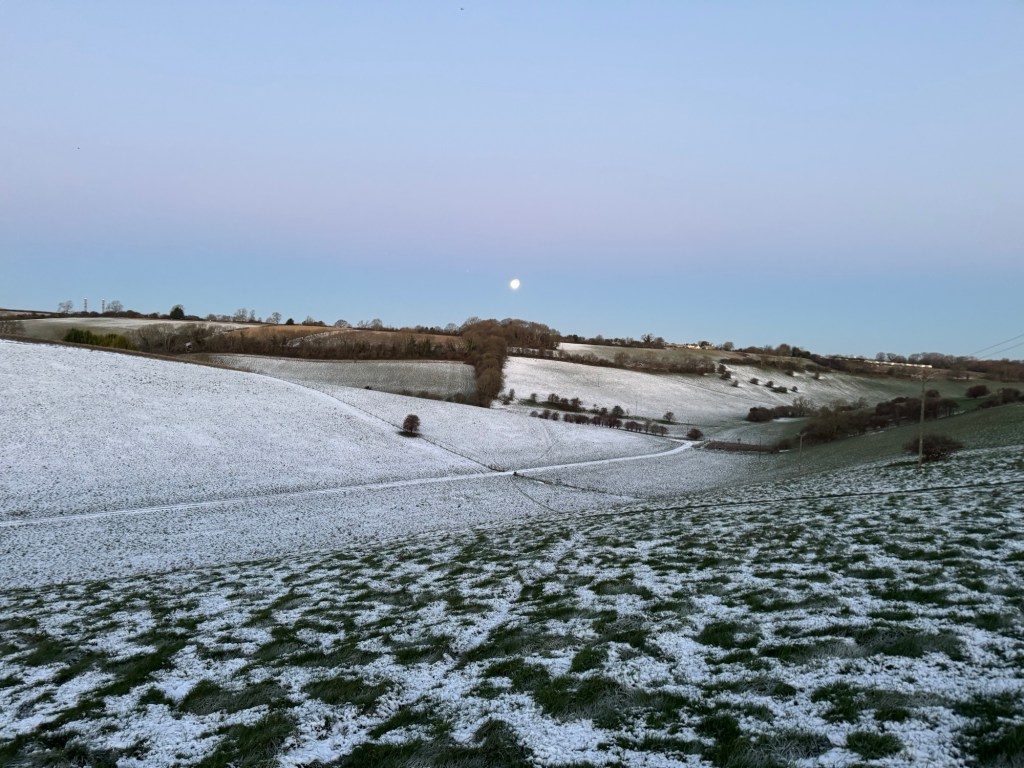
I had another dodgy animal encounter as I crossed into a footpath running through a farm at Chelsham. Previously here I’ve been chased by some very territorial geese as the footpath crosses the farmland. This time it was a big black dog barking deeply, and with feet on the stile I needed to cross. I took a few minutes staring him down and reassuring him. Surprisingly once I was in the farm, he stopped barking, although I was still on alert. Then, as I neared Tatsfield the sky was starting to warm with glowing orange and red colours of daybreak. My first section was done!
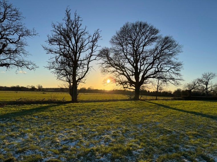
The path takes you very briefly along the North Downs Way at Chestnut Avenue before a long stretch of road down Clacket Lane sees you cross the M25 as you make your way towards Limpsfield Common and High Chart. Here daylight took over and the darkness of night gave way.
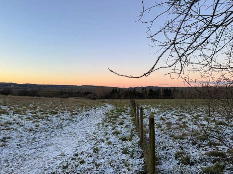
I found kms 20-40 slower going as the path takes you through a lot more farmland. The terrain was uneven and at times difficult to more quickly on. The fields were snow covered and hardened with the frost beneath. Tentatively I couldn’t tell if there was frozen sections that would give way as I trudged along. Much of this section is along the Vanguard Way before you leave it and head West just North of East Grinstead. But not until after one of the larger, longer climbs on the route by Dry Hill.
As you Navigate around East Grinstead the route takes you towards Dormans Park where you pass the train station (a good potential place to join the path if travelling from elsewhere!). After Dormans the route heads towards one of the more built-up areas near Felbridge. I was around 55km in at this point. I’d planned a diversion to a petrol station, deviating from the path for a km to reach it. This was the only viable place for me to fill up with water and access more food if needed. There are no public taps along the route that I could identify when planning and the few pubs/village stores you pass weren’t options for me due to opening times. I was glad to reach the petrol station and top up on water (I had more than enough food with me), however the stop made me cold, very cold, so I tried not to stay for too long and carried on.
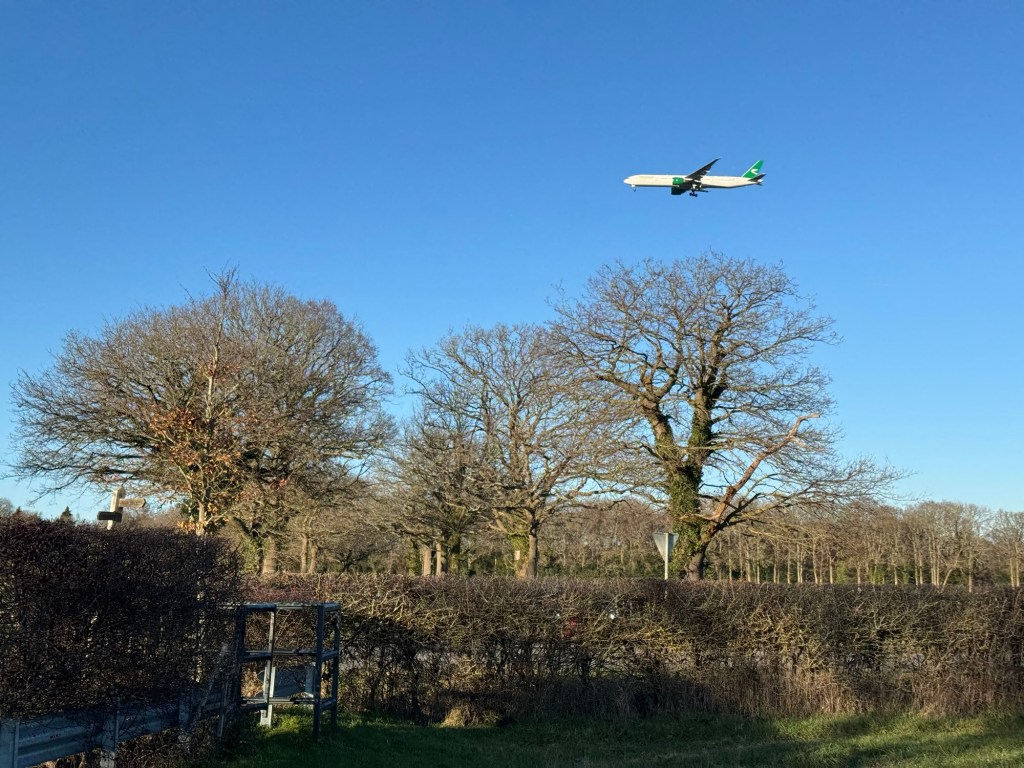
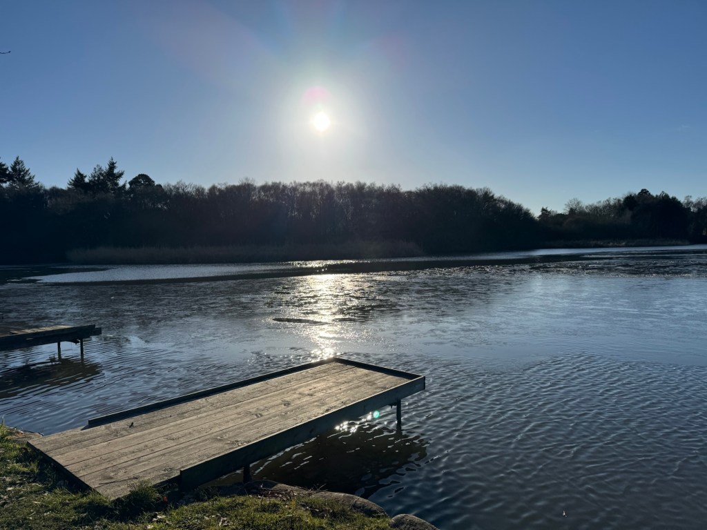
With the detour and navigating around Felbridge there were quite a lot of icy road sections. Then, from 60-70km the paths were much wetter, saturated with water and mud. My feet were now wet and freezing. There was a nice section just after Felbridge as you ran around a lake set up for fishing activities. Here the path is still heading West as you near Gatwick and head directly under the flight path of landing planes. Somewhere around the 65km mark (for me) the path edges closer to the M23 and you start heading North as you pass through Burstow. Here the path was unidentifiable and I trudged through frozen, waterlogged fields. The ground was almost indistinguishable as the water had frozen. My shins were shredded by overgrown thorns sticking out and from breaking through the ice layer as I waded through the field, some points almost knee deep in the water. I was glad to eventually find my way out of these fields and back to more obvious paths.
A few km later you near Smallfield (there is another option of a short detour to a Co-Op here if needed) and then shortly later I was back on familiar territory as I reached Outwood, another place with loads of trails and places to run/walk. I pretty much knew my way from here. The path heads North, passing by Redhill, crossing the M23 (note that there is clear access along the marked public footpath through then through the Kings Lodge Care complex) and heading North through Nutfield and up to Merstham (through/around Mercers lake). This felt like a long stretch.
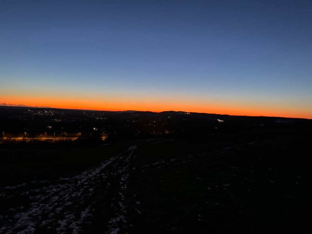
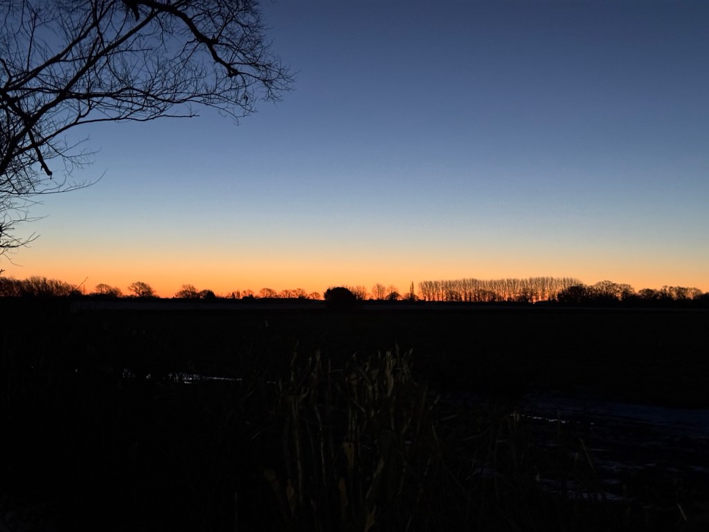
As I reached the M25 crossing and rejoined the North Downs Way again I was presented with a glorious sunset. It felt quite fitting to see the sun rise and set over the North Downs Way! Passing back through Chandon there was a short detour (the footpath was diverted for animal grazing) before I entered Happy Valley and ran back through Coulsdon Common to where I completed the Tandridge Border Path loop at Rydon’s lane. I kept running and made it home just inside 13 hours covering just under 93km. Happy with that!

Overall it was a great day. The icy roads made for slow progress and, despite the frozen fields being difficult to run at times, I was glad it was dry and not muddy like these trails could be in worse weather. It’s a great way to explore and see more of Tandridge whilst connecting some trails I’ve become so familiar with.
I submitted the route and my log to Fastest Known Time, so whilst it is easy to claim it as the first person submitting the run, the route and instructions are there for others to have a go – https://fastestknowntime.com/fkt/dai-davies-tandridge-border-path-uk-2026-01-03
